2018 - 2025
2018 - 2025
Satellite Gaps
2024
2024
2023 - 2024
2023 - 2024
2022 - 2023
2022 - 2023
2022 - 2023
2022 - 2023
2021 - 2022
2021 - 2022
2018 - 2019
2018 - 2019
2016 - 2017
2016 - 2017
2015 - 2016
2015 - 2016
2015 - 2016
2015 - 2016

PROJECT TITLE
“Satellite Gaps”
DETAILS
CNC’d Foamular, finished in Black 3.0 paint which absorbs 96% of visible light, on plywood plinths).
SUPPORTED BY
Andrew W. Mellon Foundation
Zolberg Institute on Migration and Mobility
The New School
A/D/O Brooklyn
Goldsmiths, University of London
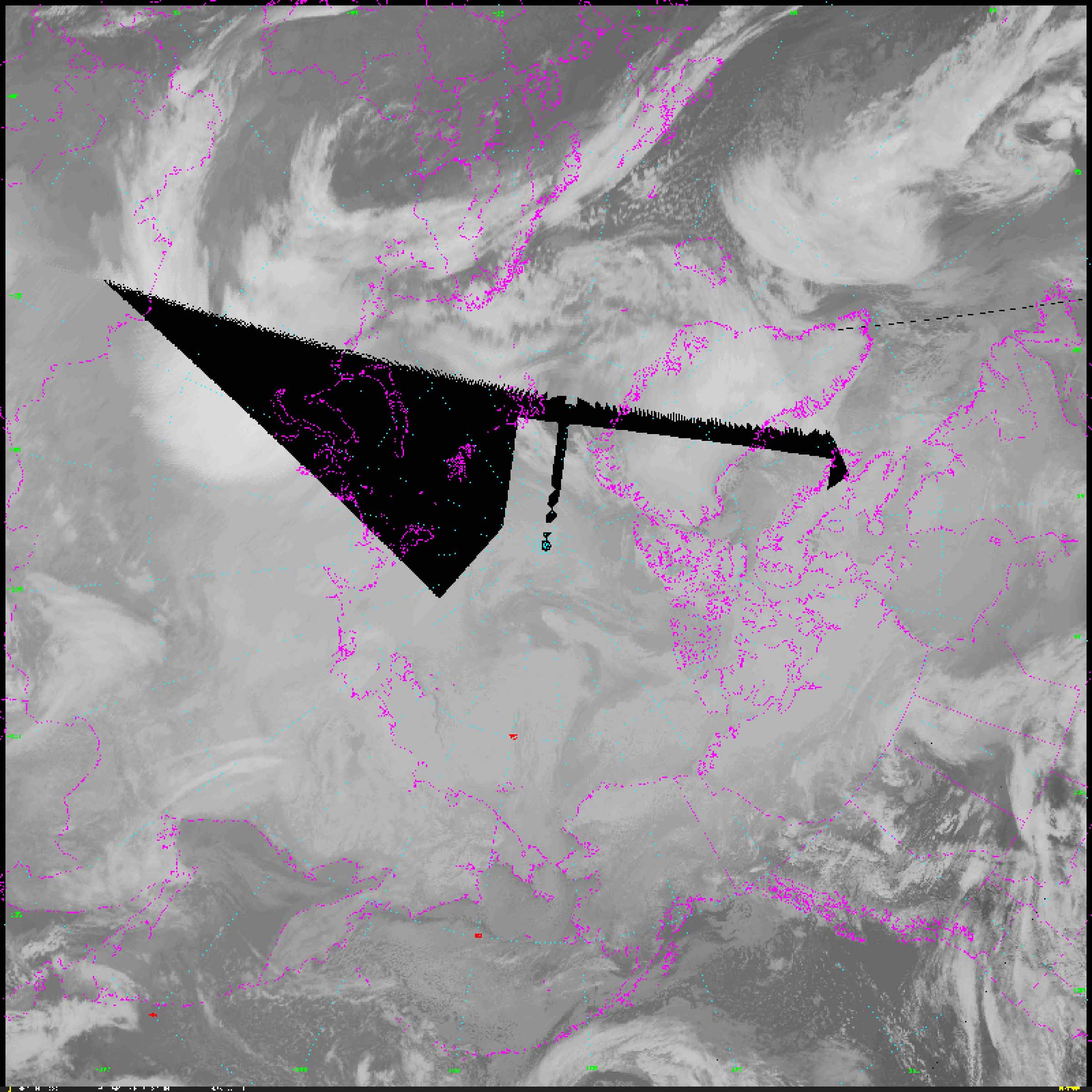
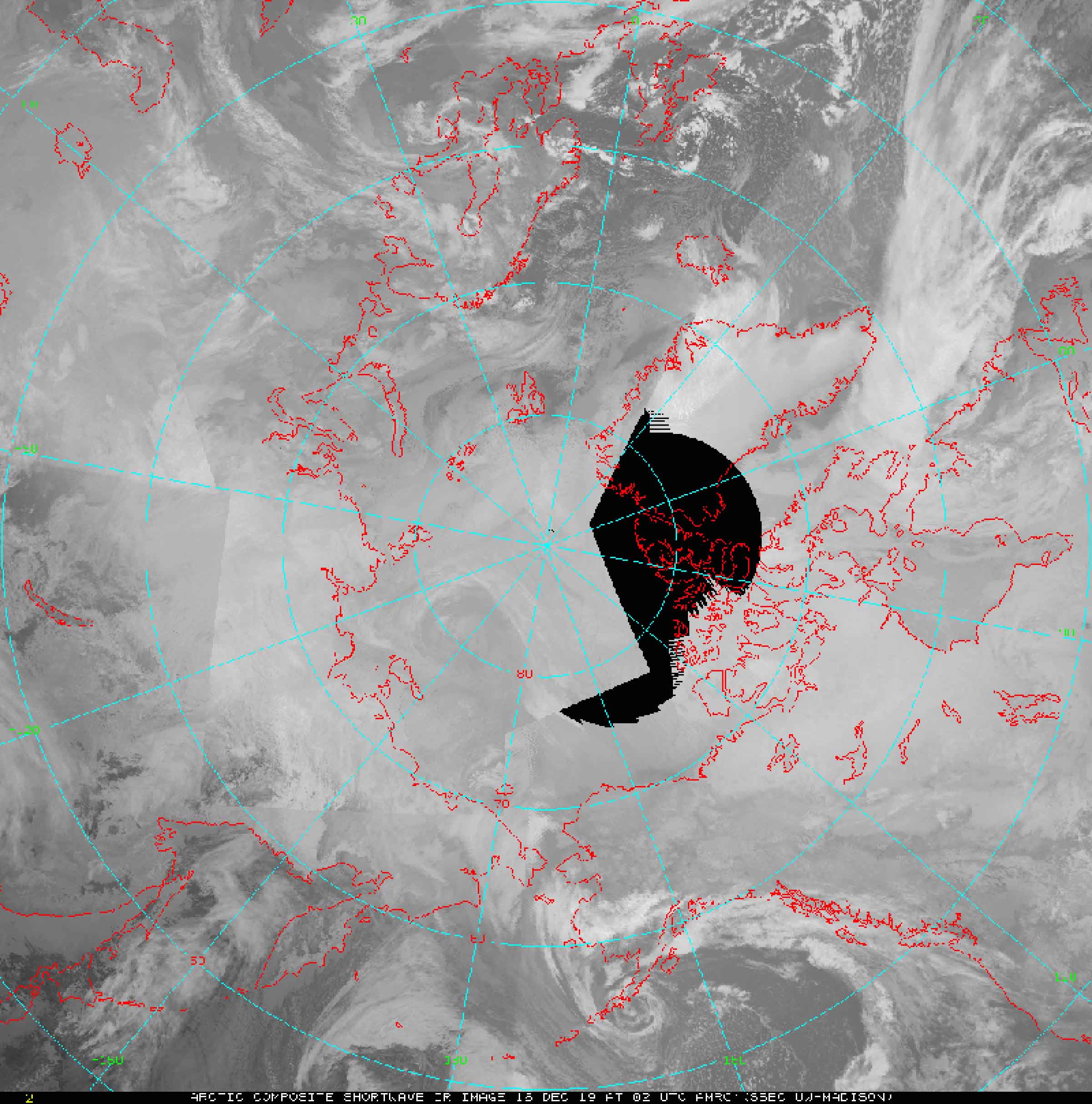
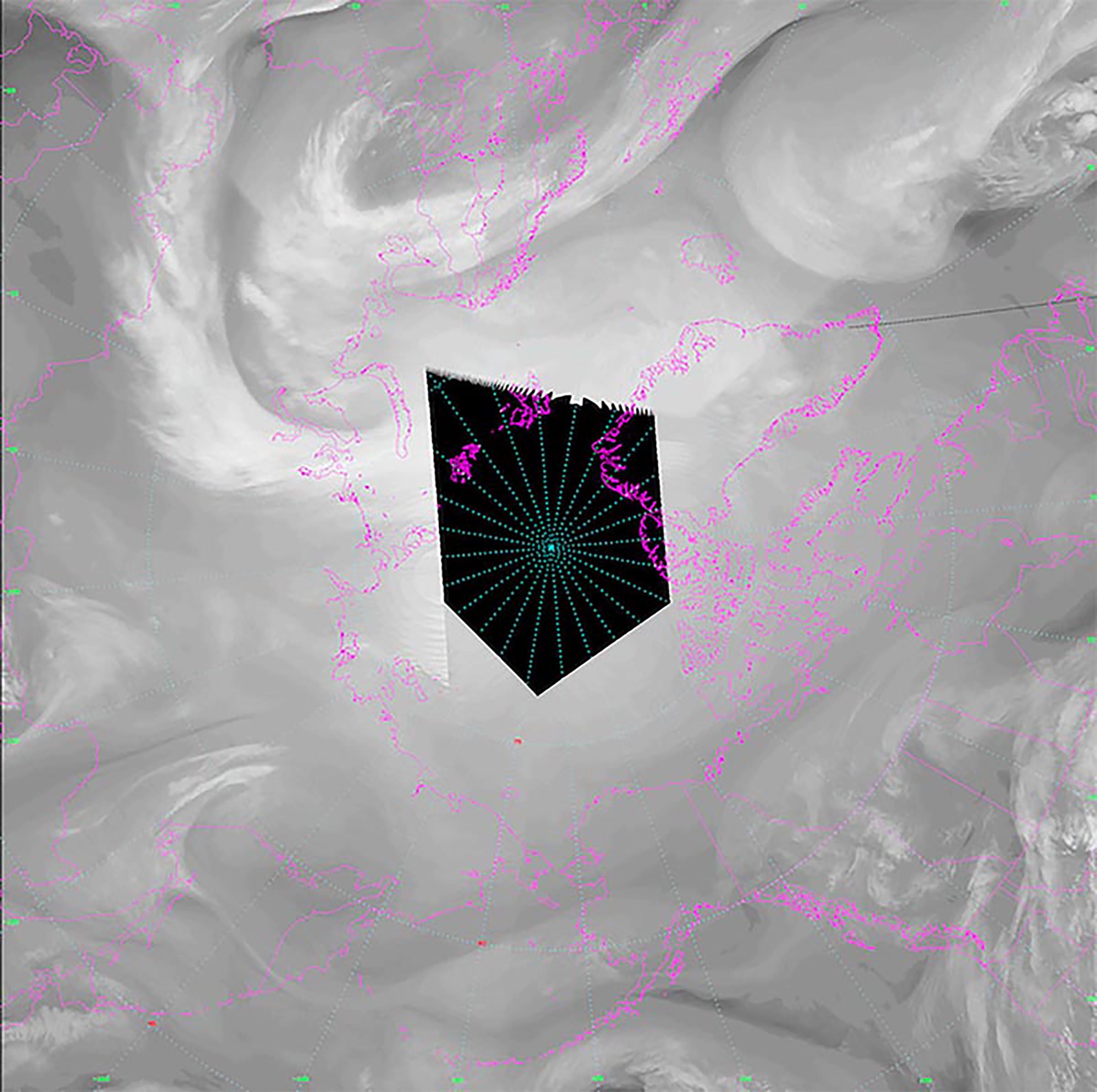
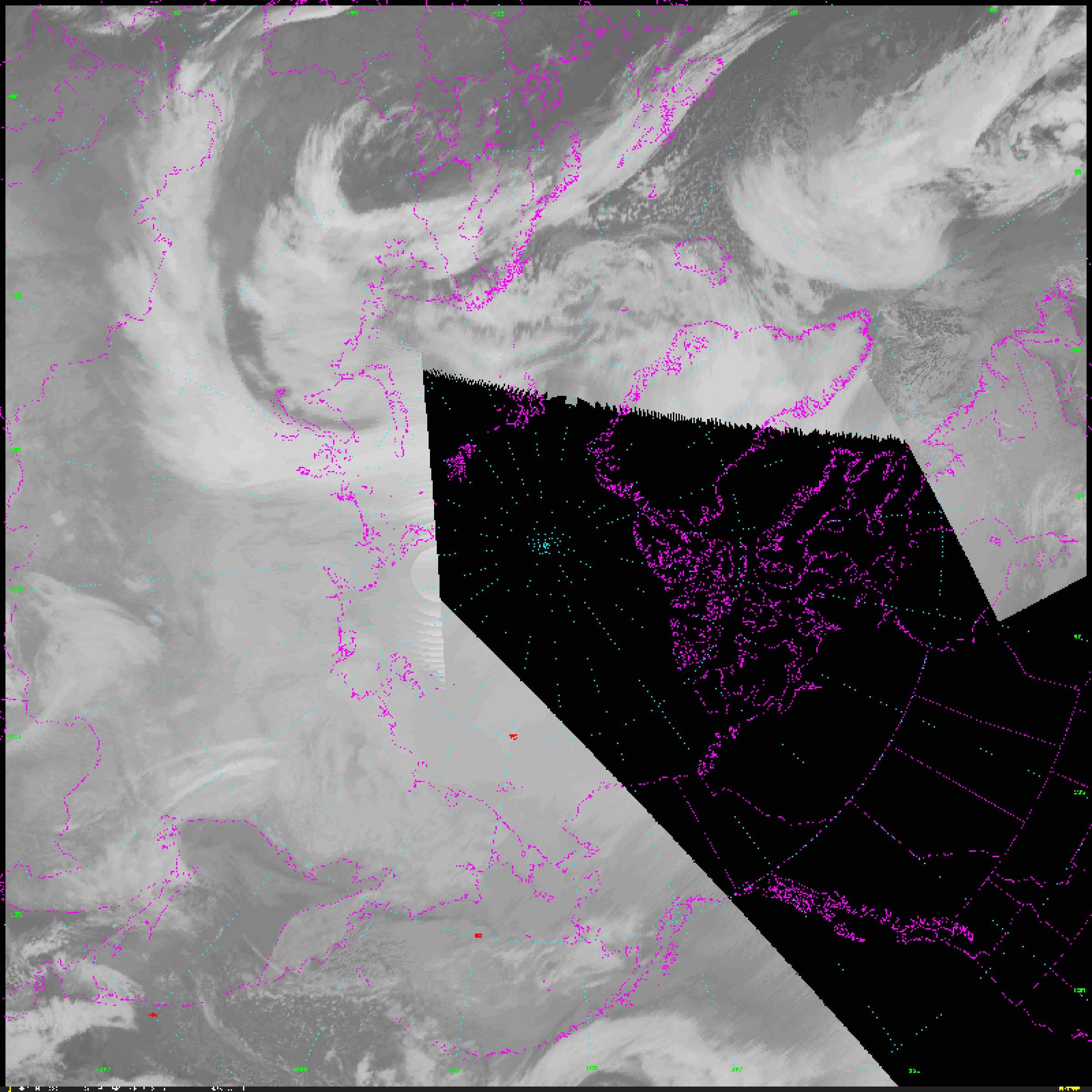
Forms based on gaps in satellite data, sourced from Unidata-Wisconsin Datastream, July 19-24, 2019.
Gaps in satellite imagery of the far north are the result of lower satellite density at the poles, and their shape reconfigures daily depending on the constellation of available satellites. What are the politics of designating regions of high-priority and low-priority at planetary scale? Who decides, and according to what criteria?


